
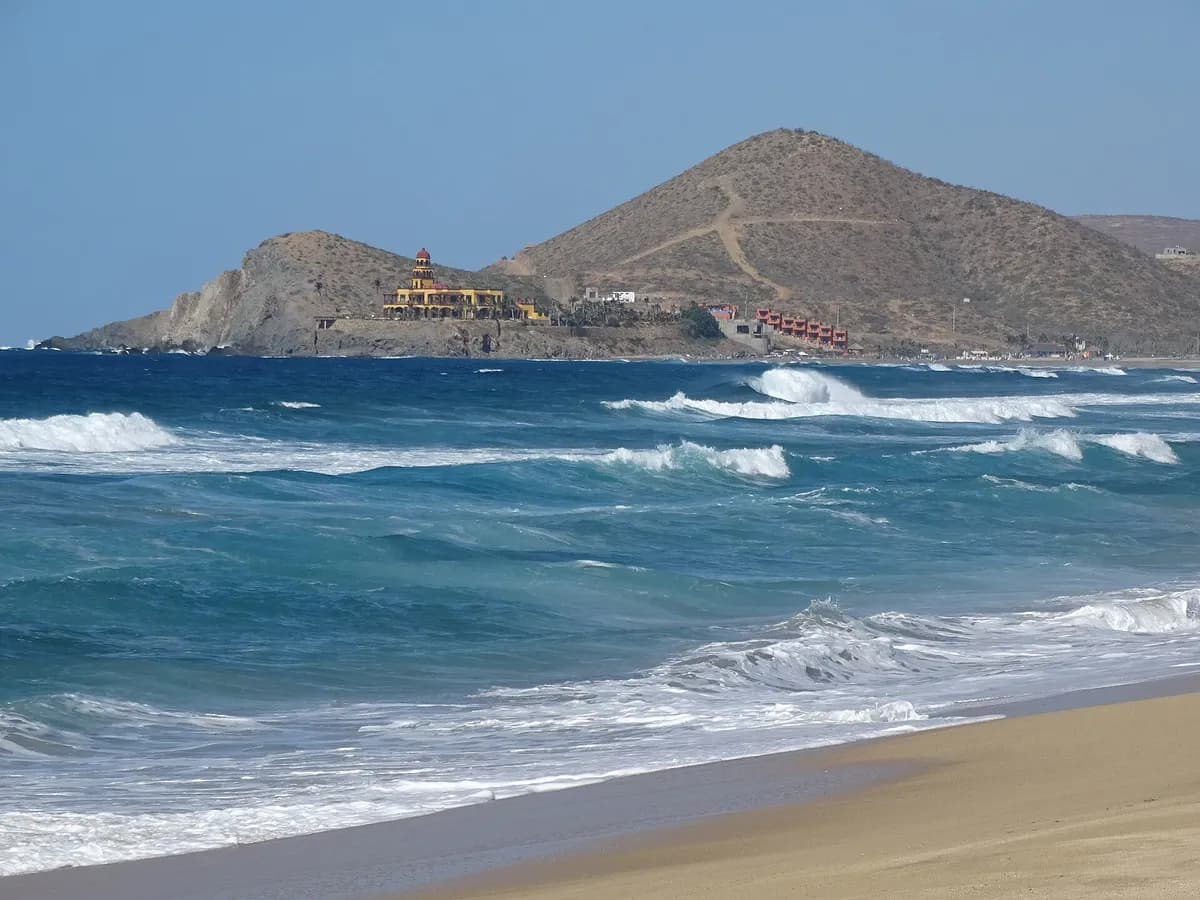
Photo: Adam Jones from Kelowna, BC, Canada · CC BY-SA 2.0 · via Wikimedia Commons
Los Cerritos
The wave that carries almost all of the beginner traffic on the Todos Santos stretch, and the reason two camps sit within a few kilometres of it. Its forecast guide calls it an exposed beach AND point break: sand along most of the bay, with the point at the north end. Consistent enough to work at any time of year, at its cleanest in winter — which is worth knowing, because the camps around it are priced for the summer south swell.
Next 7 days
The best-rated window in the cached forecast.
This is the week's best-rated wave quality, not a suitability call. Take the 2-minute quiz to see how Los Cerritos fits your level.
Surf outlook
our estimate (what does this mean?)
A 1-5 score of how organised the waves look, from forecast height, period and wind speed — it rates the waves, not whether they fit your ability.Sunrise around 06:22, sunset around 17:47 today.
mean sea level (what does this mean?)
The long-run average height of the sea surface — tide heights are metres above (+) or below (−) that average.Times on this card are local to Los Cerritos. The star call is our own estimate, calculated from the forecast height, period and wind speed — not measured, and not a suitability or safety assessment. How we rate explains the scale. Weather data by Open-Meteo.com, licensed CC BY 4.0. Fetched .
Live conditions
Period (what does this mean?)
Time between waves. Longer period = more powerful, better-organised waves.Swell (what does this mean?)
Waves made by distant storms, smoother and more ordered than the choppy waves a local wind whips up.Wind (what does this mean?)
Offshore wind (land to sea) holds waves up and smooths their faces; onshore wind (sea to land) makes them crumble and close out sooner.Estimated wave energy (what does this mean?)
How much power each metre of wave front carries (kW/m), worked out from height and period — higher numbers mean waves that push harder.Calculated by us from the height and period above, not measured — and it describes the swell offshore, not the wave at the break.
Waves from DWD Global WAM, wind from ECMWF IFS, for a model grid point 34 km from the break. Fetched . Times on this card are local to Los Cerritos. Weather data by Open-Meteo.com, licensed CC BY 4.0. Not a suitability or safety assessment — check local conditions and ask your instructor.
Surf Snapshot
Estimated seasonal guidance — not a live forecast.
When to surf Los Cerritos, month by month
Estimated from our authored seasonality — not a live forecast.
Peak season: Jan, Feb, Nov, Dec (High).
| Month | Surf consistency |
|---|---|
| Janpeak | High |
| Febpeak | High |
| Mar | Moderate |
| Apr | Moderate |
| May | Moderate |
| Jun | Moderate |
| July | Moderate |
| Aug | Moderate |
| Sept | Moderate |
| Oct | Moderate |
| Novpeak | High |
| Decpeak | High |
Does this wave fit your level?
Rated for Levels 1-4 · Best at Level 2.
Take the 2-minute quiz to see if Los Cerritos fits you today.
Find my Level →Beginner notes
About as friendly as Baja gets: sand bottom, waves at most tides, and the peak is naturally staged so learners and better surfers are not sharing the same water. The two real caveats are people and current — its own guide describes it as crowded even when the surf is up, and warns of rips.
Hazards
- rip currents
- crowds
Best months to surf here
In-season months for Mexico, from our editors’ season calendar.
How this spot is sourced
Cross-checked against 3 sources, last checked August 2026.
Sources disagree on exact position. Treat that figure as unsettled — we would rather say so than pick one and sound certain.