
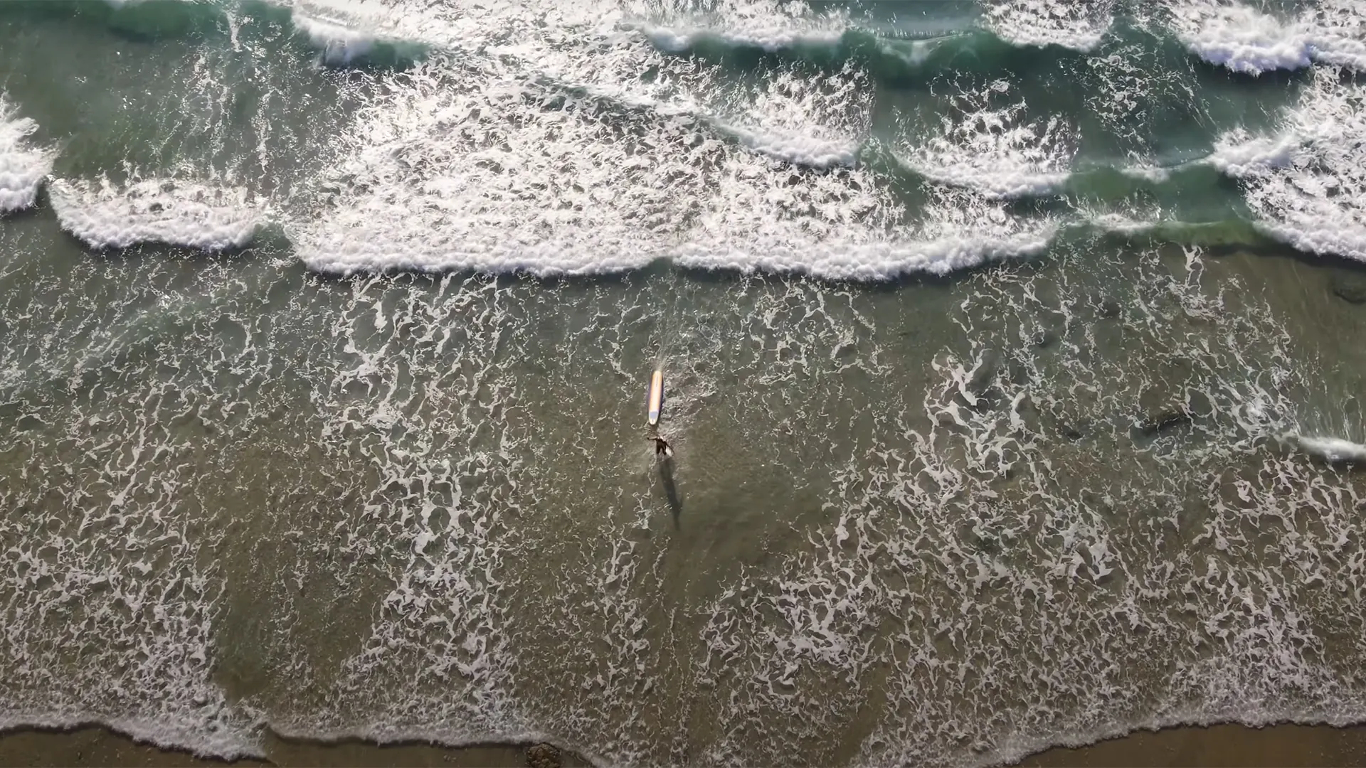

Reef break
Scripps Pier
San Diego, USA
A rock-and-sand reef beside the Scripps Institution of Oceanography research pier, locally called Big Rock — Surf-Forecast calls it a fairly exposed reef break with consistent surf and winter as the optimum season; its break coordinate sits about 0.74km from Wikipedia's pier point, both naming the same break (see coordinateNote).
Surf report
LiveGood — go
1 of 1 lined up. Swell suits Scripps Pier right now.
Next good window: 16 Nov 2026, 08:00
Live conditions
Period (what does this mean?)
Time between waves. Longer period = more powerful, better-organised waves.Swell (what does this mean?)
Waves made by distant storms, smoother and more ordered than the choppy waves a local wind whips up.Wind (what does this mean?)
Offshore wind (land to sea) holds waves up and smooths their faces; onshore wind (sea to land) makes them crumble and close out sooner.Estimated wave energy (what does this mean?)
How much power each metre of wave front carries (kW/m), worked out from height and period — higher numbers mean waves that push harder.Calculated by us from the height and period above, not measured — and it describes the swell offshore, not the wave at the break.
Waves from DWD Global WAM, wind from ECMWF IFS, for a model grid point 26 km from the break. Fetched . Times on this card are local to Scripps Pier. Weather data by Open-Meteo.com, licensed CC BY 4.0. Not a suitability or safety assessment — check local conditions and ask your instructor.
strong period.
Wind (what does this mean?)
Wind blowing roughly along the coastline rather than from the land or the sea. Less help and less harm than a head-on offshore or onshore wind.Tide (what does this mean?)
Where the sea sits in that day's own rise and fall — low, mid or high for THIS spot and THIS day, not a fixed height everywhere shares.Next 7 days
The best-rated window in the cached forecast.
This is the week's best-rated wave quality, not a suitability call. Take the 2-minute quiz to see how Scripps Pier fits your level.
Surf outlook
our estimate (what does this mean?)
A 1-5 score of how organised the waves look, from forecast height, period and wind speed — it rates the waves, not whether they fit your ability.Sunrise around 06:20, sunset around 16:47 today.
mean sea level (what does this mean?)
The long-run average height of the sea surface — tide heights are metres above (+) or below (−) that average.Times on this card are local to Scripps Pier. The star call is our own estimate, calculated from the forecast height, period and wind speed — not measured, and not a suitability or safety assessment. How we rate explains the scale. Weather data by Open-Meteo.com, licensed CC BY 4.0. Fetched .
Surf Snapshot
Estimated seasonal guidance — not a live forecast.
Quick answers about Scripps Pier
Where is Scripps Pier?
Scripps Pier is in San Diego, USA.
What level is Scripps Pier for?
Scripps Pier suits Levels 4-6 surfers.
Does this wave fit your level?
Rated for Levels 4-6 · Best at Level 5.
Take the 2-minute quiz to see if Scripps Pier fits you today.
Find my Level →Beginner notes
An intermediate-to-advanced wave: the pier pilings and a research-vessel channel add structural hazards on top of the reef bottom.
Hazards
- pier pilings
- rocks
- research vessel channel
Camps near Scripps Pier
Nearby spots
The closest graded spots to Scripps Pier, straight-line distance.
- La Jolla Shoresunder 1 km · Levels 1-2
- Blacks Beach~4 km · Levels 4-6
- Windansea Beach~5 km · Levels 4-6
- Tourmaline~7 km · Levels 1-3
- Pacific Beach~8 km · Levels 1-6
Best months to surf here
In-season months for California, from our editors’ season calendar.
How this spot is sourced
Cross-checked against 2 sources from 2 independent lineages, last checked October 2026.
Two or more independent sources agree on exact position.