
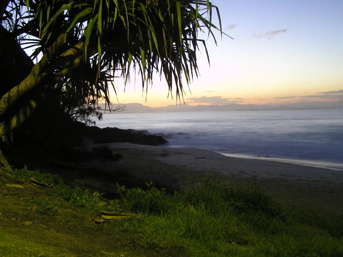
Photo: ogwen · CC BY-SA 3.0 · via Wikimedia Commons
The Pass
The wave that made Byron Bay, and one of the few genuinely famous breaks anywhere that a beginner can legitimately surf. A combination reef-and-sand point that peels a long, winding right around the headland — its guide describes rides running half a mile on the right swell. It works on E to NE swell with a south-easterly offshore, which is the standard Byron set-up, and because it wraps into the bay it stays surfable when the open beaches are blown out. The catch is that everybody knows all of this. It is reliably one of the most crowded lineups in Australia, shared between longboarders, learners and very good surfers at the same time.
Next 7 days
The best-rated window in the cached forecast.
This is the week's best-rated wave quality, not a suitability call. Take the 2-minute quiz to see how The Pass fits your level.
Surf outlook
our estimate (what does this mean?)
A 1-5 score of how organised the waves look, from forecast height, period and wind speed — it rates the waves, not whether they fit your ability.Sunrise around 05:57, sunset around 19:01 today.
mean sea level (what does this mean?)
The long-run average height of the sea surface — tide heights are metres above (+) or below (−) that average.Times on this card are local to The Pass. The star call is our own estimate, calculated from the forecast height, period and wind speed — not measured, and not a suitability or safety assessment. How we rate explains the scale. Weather data by Open-Meteo.com, licensed CC BY 4.0. Fetched .
Live conditions
Period (what does this mean?)
Time between waves. Longer period = more powerful, better-organised waves.Swell (what does this mean?)
Waves made by distant storms, smoother and more ordered than the choppy waves a local wind whips up.Wind (what does this mean?)
Offshore wind (land to sea) holds waves up and smooths their faces; onshore wind (sea to land) makes them crumble and close out sooner.Estimated wave energy (what does this mean?)
How much power each metre of wave front carries (kW/m), worked out from height and period — higher numbers mean waves that push harder.Calculated by us from the height and period above, not measured — and it describes the swell offshore, not the wave at the break.
Waves from DWD Global WAM, wind from ECMWF IFS, for a model grid point 17 km from the break. Fetched . Times on this card are local to The Pass. Weather data by Open-Meteo.com, licensed CC BY 4.0. Not a suitability or safety assessment — check local conditions and ask your instructor.
Surf Snapshot
Estimated seasonal guidance — not a live forecast.
Does this wave fit your level?
Rated for Levels 2-6 · Best at Level 3.
Take the 2-minute quiz to see if The Pass fits you today.
Find my Level →Beginner notes
Approachable in the sense that matters — the wave is slow, long and forgiving, and a great many people have caught their first green wave here. It is still graded from Level 2 rather than Level 1, because it is a point rather than a beach: everybody funnels into one take-off, and the crowd is the hazard rather than the water. Its own forecast guide names rips, rocks and locals in the same breath. Go early, sit wide of the peak, and learn the right-of-way rules before you paddle out rather than after. The ceiling is Level 6 because on a big swell the same point becomes a fast, serious wave.
Hazards
- rocks
- rip currents
- crowd
Camps near The Pass
Nearby spots
The closest graded spots to The Pass, straight-line distance.
- Snapper Rocks~53 km · Levels 3-6
Best months to surf here
In-season months for Eastern Australia, from our editors’ season calendar.
How this spot is sourced
Cross-checked against 3 sources from 2 independent lineages, last checked September 2026.
Two or more independent sources agree on wave type.